Monitoring Water Levels and Waves to Support Flooding and Storm Response in the Mid-Atlantic
IOOS Regional Associations, including MARACOOS, are deploying networks of low-cost water level sensors and wave buoys to fill critical gaps in coastal hazard data. These systems provide real-time, hyper-local information to help coastal communities prepare for and respond to flooding, rip currents, and other coastal hazards.
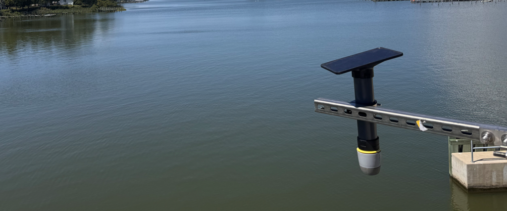
Water Level Sensors: Installed at strategic locations like bridges, marinas, and tidal creeks, low-cost water level sensors collect data every 15 minutes. This hyperlocal information helps track tidal flooding and storm surge in real-time, improve emergency response and planning, and support public safety and coastal decision-making.
Wave Buoys: Wave buoys, whether floating or moored offshore, deliver hourly updates on wave height, wave period and wave direction, helping emergency managers make informed decisions during storms.
Related Projects